Prehistory · nature
Peak of the Ice Age
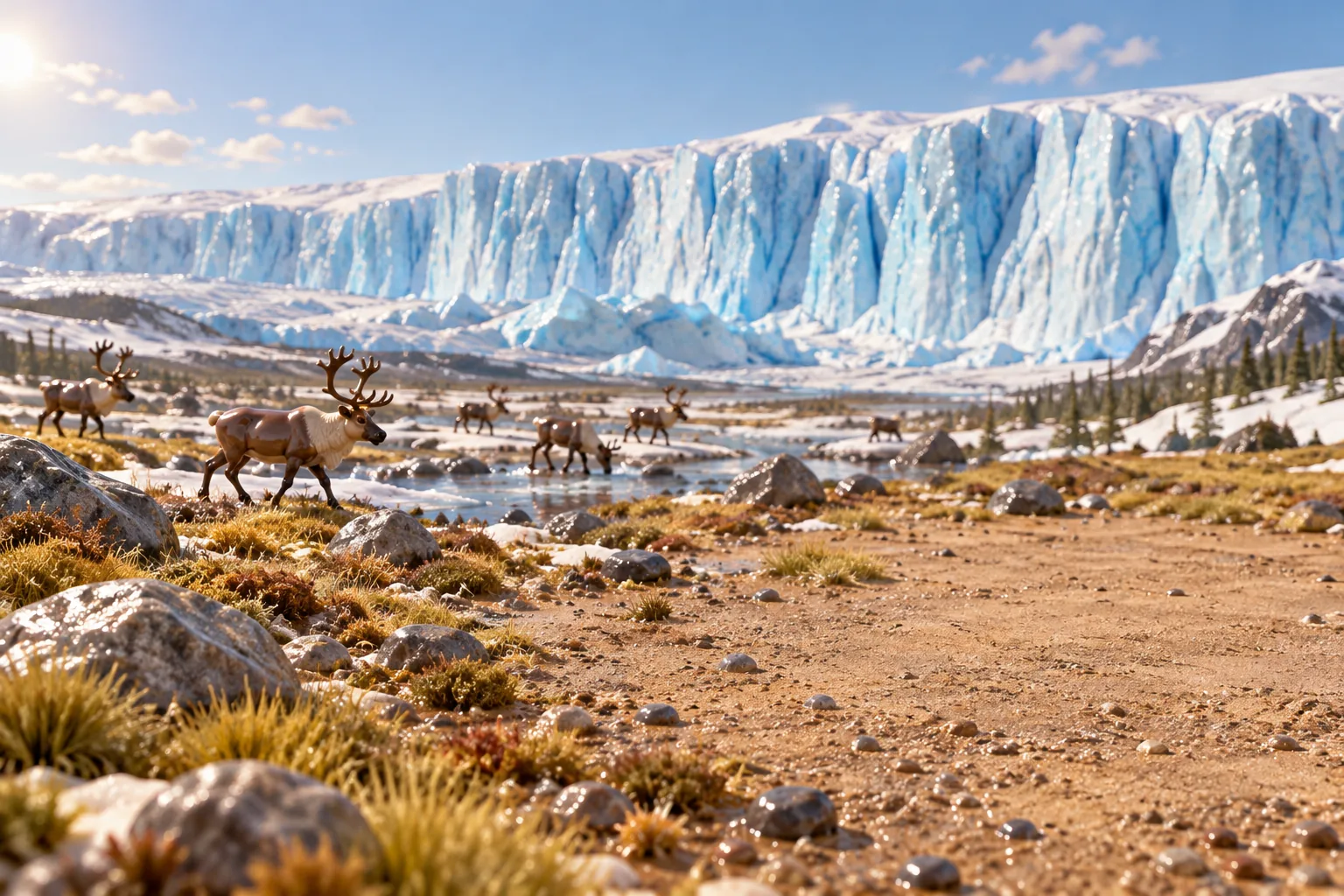
At the height of the last Ice Age, ice over Canada stood more than 3 km high, and its edge reached as far as Manhattan.
Between about 26,000 and 20,000 years ago, the ice sheets of the last Ice Age reached their greatest size. The Laurentide Ice Sheet covered almost all of Canada east of the Rocky Mountains and stretched south to the Missouri and Ohio rivers and east to Manhattan; at its highest it was 3.2 km thick. In Europe ice buried Iceland, Ireland and roughly the northern half of Britain, and its edge ran across land now under the North Sea to Denmark. South of the ice, frozen ground reached as far as Szeged in today's Hungary.
So much water was locked up in ice that the sea stood about 125 metres lower than today. Continental shelves became dry land. Australia, New Guinea and Tasmania formed one continent, now called Sahul, and Siberia was joined to Alaska. The world was on average about 6 °C colder, and almost everywhere drier. The Sahara and other deserts spread, the Amazon rainforest was split by savanna, and rainfall in places such as the Sahel and southern Australia fell by up to 90%.
People had to adapt or retreat. Estimates suggest Europe's human population fell by as much as 60%. Around 20,000 to 19,000 years ago the ice began to melt, and the rising sea slowly drowned the coastal plains people had lived on.
Read more on Wikipedia